Multimodal exploring around Melbourne
A look at what I checked out during my multimodal adventure around Melbourne.
Last week, I spent a few days on the other side of the Tasman Sea in Melbourne or Naarm (the city’s traditional Aboriginal name). This was my first time visiting the city, meaning there was a lot for this urban nerd to explore in the city, which has a population slightly larger than the whole population of Aotearoa New Zealand.
So pack your suitcase, put on your walking shoes and top up your Myki card and let the adventure begin.
A walk through the city centre:
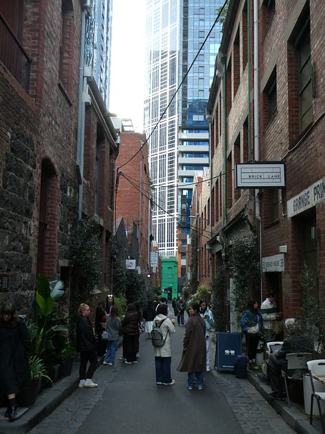
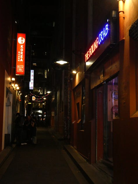
We’ll start our adventure on foot in the city centre, which is very easy to get around by foot, thanks to the series of laneways and arcades throughout the city centre. These laneways are beautifully decorated with street art from local artists and architecture from the 1870s onwards (especially the older Block, Royal and Cathedral Arcades) rich in a diverse range of retail stores, where you will find your next favourite outfit or a special gift for friends and whānau. Foodies and coffee lovers will fall into heaven with the diverse range of restaurants and cafes throughout the city centre, from brunch at Degraves Street to lunch at the many eateries of different cuisines along these laneways to dinner or a drink on the busy Hardware Lane.
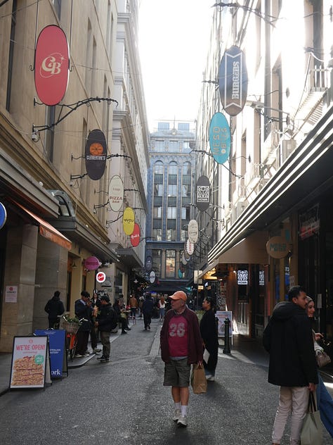
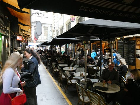
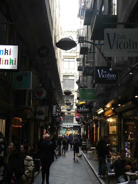
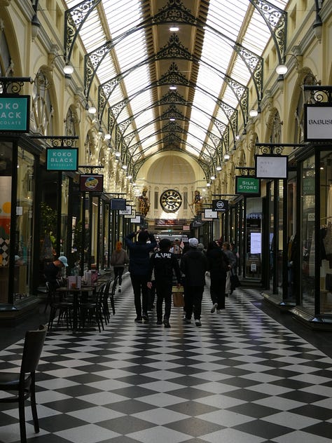
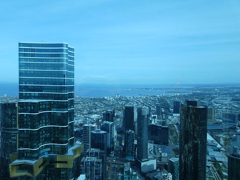
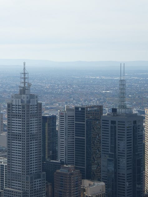
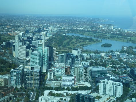
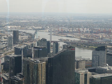
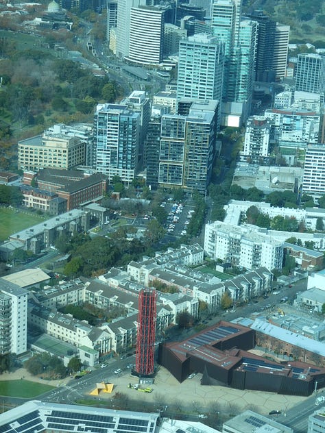
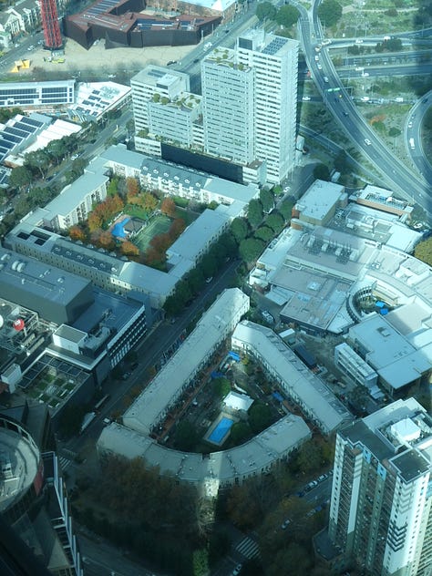
I headed across the Yarra River to Southbank, one of the city’s most dense parts with a cluster of high rises full of apartments, offices and eateries. I was able to enjoy the views of Melbourne and beyond from the 88th floor of the Eureka Tower, where I spotted pockets of perimeter block housing in the medium-density housing developments at the foot of these high rises.
The Metro Tunnel emerging from below:
During my time in Melbourne, I checked out three of the five underground stations being built as part of the Metro Tunnel project: a 9km twin rail tunnel under the Melbourne city centre to increase capacity on the city’s metro rail network, which is expected to completed and open by the end of the year.
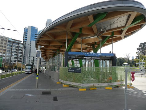
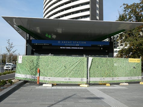
We will start at the southernmost of the five stations: Anzac, which is located on St Kilda Road by the Shrine of Remembrance. When the station opens, it will be the city’s first tram-train interchange to allow for easy transfers from the trains and trams on St Kilda Rd, one of the city’s busiest tram corridors. Construction of the station, which includes its distinctive timber canopy, a pedestrian underpass, the station’s platforms and streetscape improvements, is completed.
We take the tram up to Swanston Street to Town Hall Station, where the fitting out of the station platforms, pedestrian connections to Flinders Street Station, the entrances at Federation Square, Swanston Street, and Flinders Street are ongoing with the canopy built at the Swanston Street entrance. Construction has begun on Town Hall Place: a 10-storey over-station development facing Swanston and Flinders Street with offices, laneways, retail and hospitality spaces. Town Hall Place is expected to be completed in the second half of 2026.
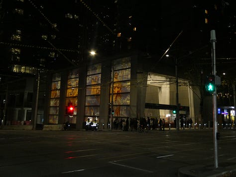
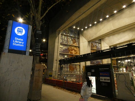
We head to State Library Station, which has entrances on the corner of La Trobe and Swanson Street and the corner of Swanson and Franklin Street close to the State Library, RMIT University and Queen Victoria Market. The fitting out of the station is ongoing, including the station platforms and the underground pedestrian connection to Melbourne Central Station to create easy transfers to train services on the City Loop, the underground rail loop under the city centre, which opened in the 1980s. Like Town Hall Station, there will be an over-station development on the corner of La Trobe and Swanson Street.
The Metro Tunnel will connect the Sunbury, Cranbourne and Pakenham Lines and will have high-capacity signalling, improved accessibility features and platform screen doors installed as part of the project.
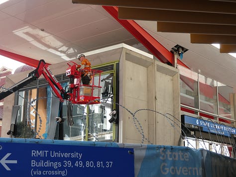
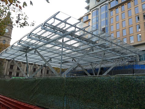
A multimodal trip around the inner northern suburbs:
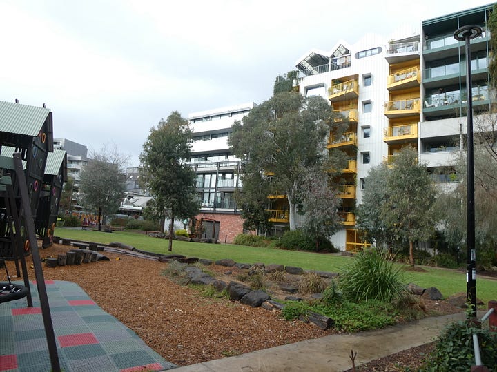
I took a train ride to the inner-city suburb of Brunswick to check out Nightingale Village, a mixed-use development consisting of 194 apartments and commercial spaces, with some of the apartments used as community housing. The development is located on the doorstep of Anstley Station on the Upfield Line, Upfield Bike Path, which connects to Melbourne City Centre via The Capital City Trail. The development is also within walking distance of shops and eateries on Sydney Road.
The buildings in the development have been designed with sustainability in mind, featuring powered without the use of fossil fuels, rainwater connection for common areas, and the use of recycled materials in its construction. The buildings also have a shared rooftop terrace, car share and secure bike parking. A park has been built within the development with a playground and community garden, creating a green space for residents to come together.
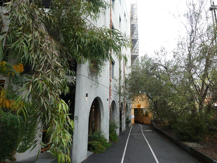
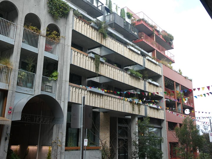
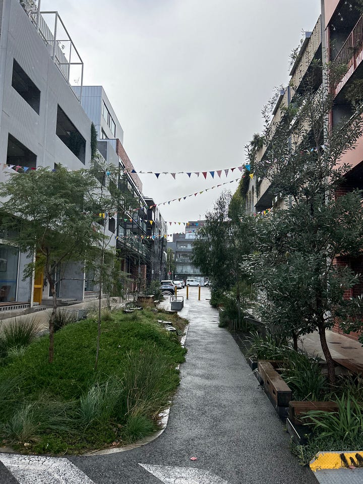
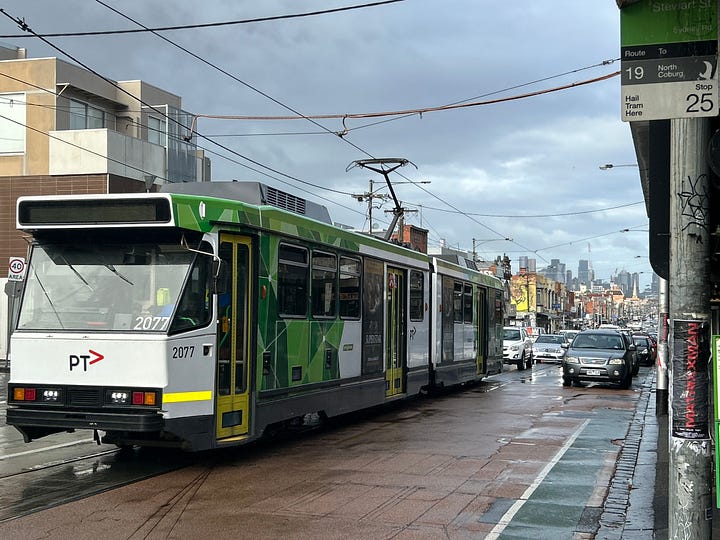
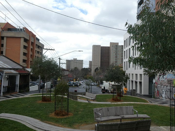
After looking around Sydney Road, I took the 508 bus to Northcote, then transferred onto the 86 tram to Smith Street in Collingwood. Both Sydney Road and Smith Street consist of a diverse mix of eateries and retail along the arterial roads on frequent tram routes to the city centre, with the 19 on Sydney Road and the 86 on Smith Street.
Unlocking great open spaces via elevated rail:
Level crossing removals have been a hot topic in recent years in Tāmaki Makaurau Auckland, with plans to remove level crossings along the rail network to improve safety and maximise the benefits of the City Rail Link. I decided to check out some of the projects used to remove the 85 level crossings so far on the city’s rail network in the last 10 years by the state government’s level crossing removal programme.
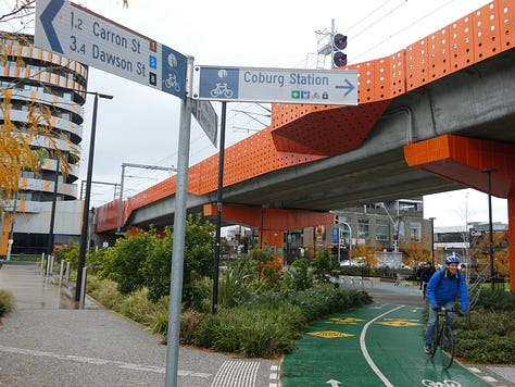
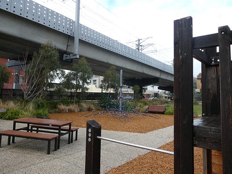
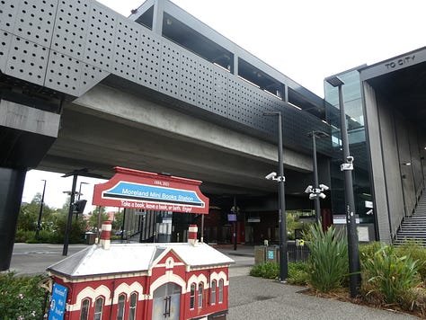
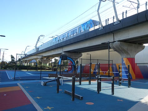
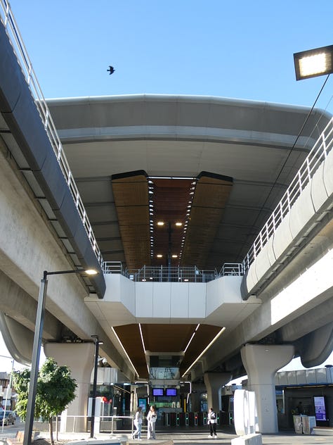
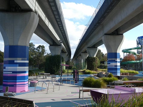
Particularly, I checked out the sections of the rail network where level crossings will be removed via elevating the rail line (better known as “Skyrail” by locals) in the inner northern suburbs of Coburg and Moreland below the Upfield Line and between the southeastern suburbs of Caulfield and Dandenong below the Cranbourne and Pakenham Lines. Elevating the rail line not only saw the opportunity to improve safety, increase capacity on the rail line and upgrade train stations along the corridor. It also saw the opportunity to create great open spaces under the rail corridor with playgrounds, dog parks, gym equipment, and basketball courts built under the rail corridor.
Skyrail is an example of a project that creates benefits to all modes of transport, with improvements to road safety, public transport with faster rail services and improvements to bus interchanges at train stations, and walking and cycling with new walking and cycling paths built under the rail corridor.
A bike ride around the inner western suburbs:
I spent my last full day in the city on a bike ride out to Williamstown via the connected cycleways and shared paths from the city centre to the coastal suburbs, along some of the 14km of new cycleways being built as part of the Westgate Tunnel project in Docklands and Footscray that are partly open in their distinctive lime green colour. The rest of the cycleways are to be open later this year, which will connect to the Capital City and the Moonee Ponds Creek Trail.
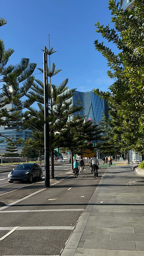
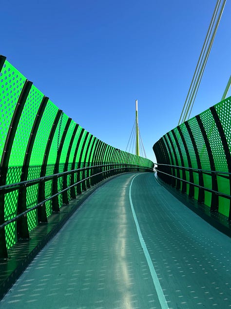
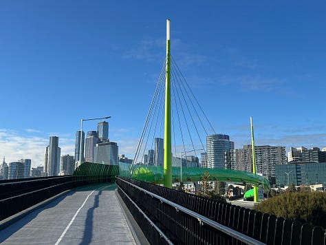
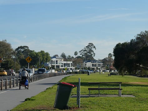
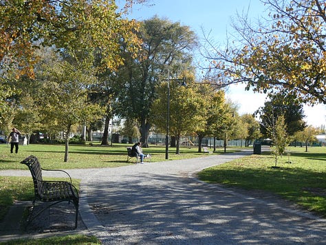
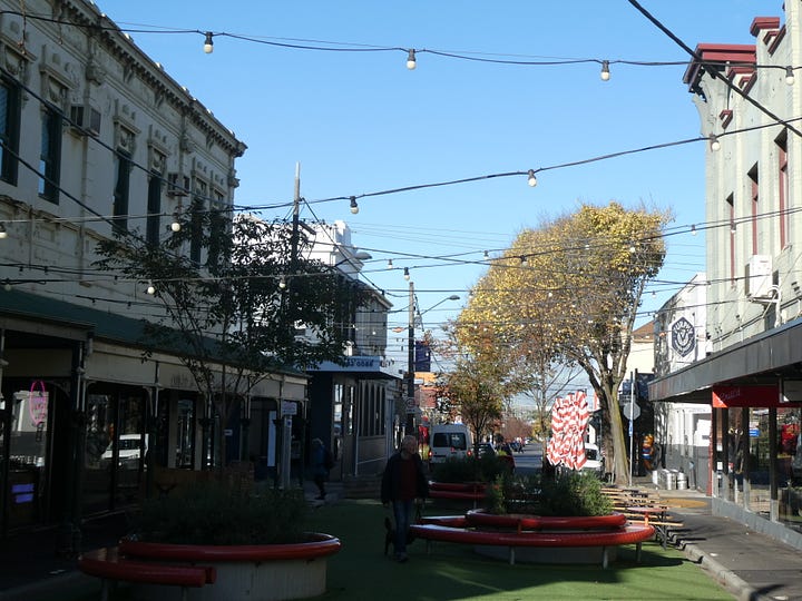
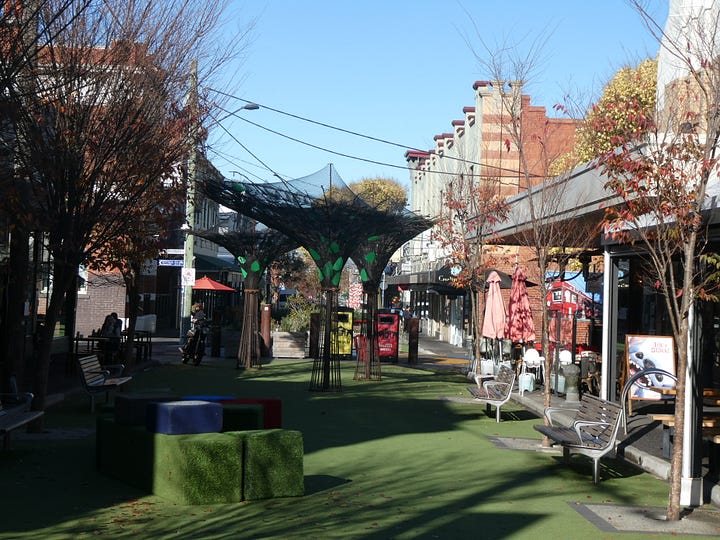
On the way to Williamstown, I had a look around the suburb of Yarraville, where tactical urbanism has been used to turn a section of Ballarat Street into a park. The park was originally established as a 12-month trial during COVID to provide extra space for retailers and eateries to allow for social distancing with outdoor dining and spaces to sit and relax. Following community feedback, the park is now permanent with more seating and planter boxes added when the permanent design of the park was implemented.
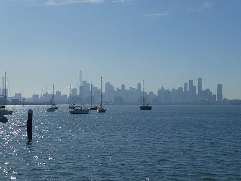
I enjoyed the views of the city while biking down the Coastal Trail to Williamstown before taking the train back to the city centre where I had a bike around Docklands, one of Australia’s largest urban renewal projects with offices, apartments, hotels, parks and entertainment venues such as Marvel Stadium emerging in the suburb since the 1990s.
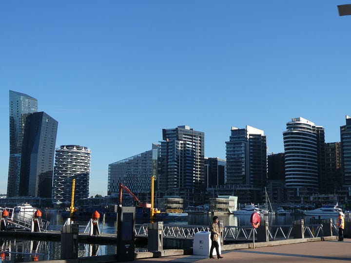
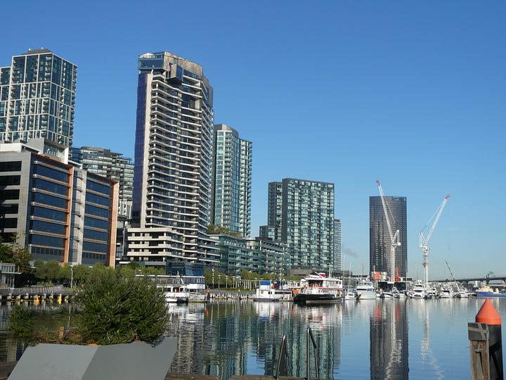
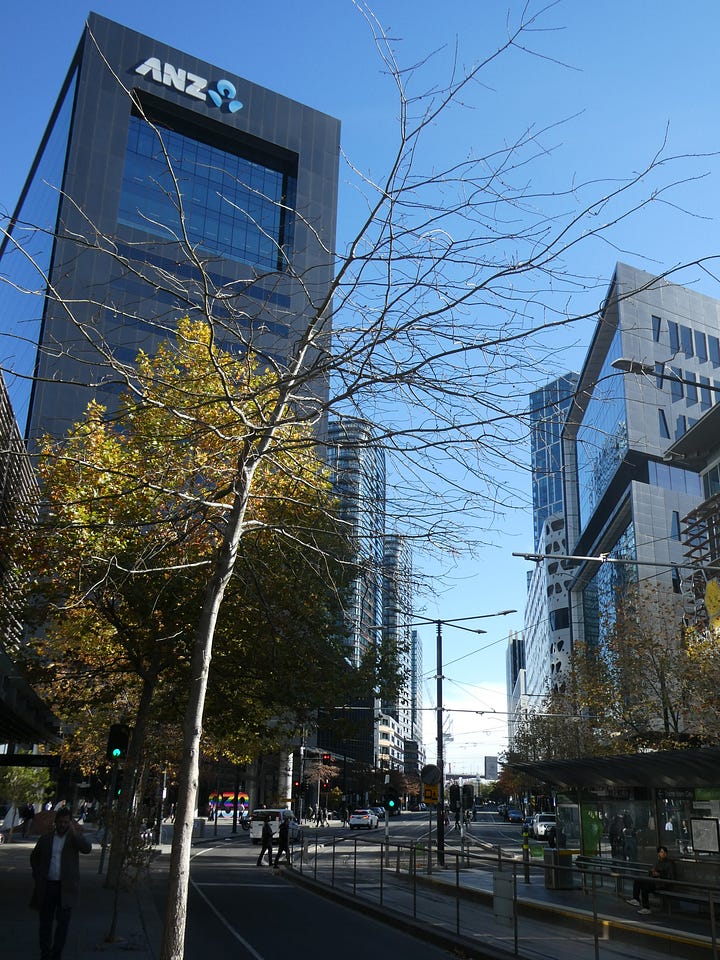
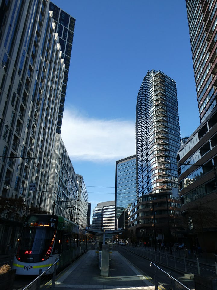
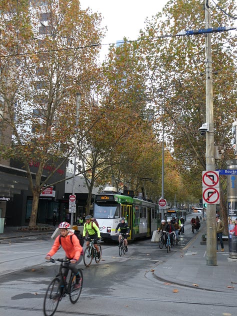
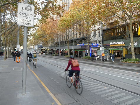
The area is connected to the adjacent city centre via frequent tram routes and connected cycling routes, with the City of Melbourne delivering new cycleways throughout the city centre and the surrounding suburbs with number of cyclists on upgraded cycling routes has increased by 22%.
Conclusion:
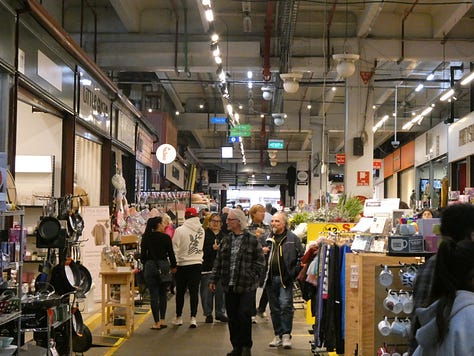
As we board the SkyBus back to the airport. I enjoyed my time in Melbourne, particularly walking down the laneways and the local markets, which are full of life and diversity. It was good travelling around via the city’s tram and train network to check out the inner suburbs and to see what their level crossing removal programme has achieved.
I look forward to returning to the city sometime in the future to see how the Metro Tunnel will transform the city’s rail network and the city centre. How workstreams currently underway by the state government to upzone for higher density housing around tram and train stations (similar to what’s being done around rapid transit stations in Aotearoa under the National Policy Statement for Urban Development (NPS- UD)) will help unlock more housing choices and create opportunities for more thriving communities. Finally, how the level crossing removal programme will maximise the rail network and the benefits created when the Metro Tunnel is opened to shape a more compact, vibrant and sustainable city.
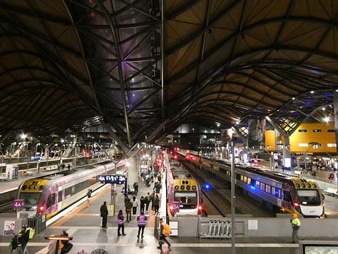
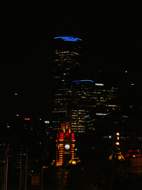
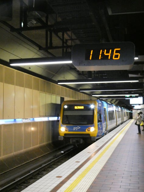
More photos from my trip:
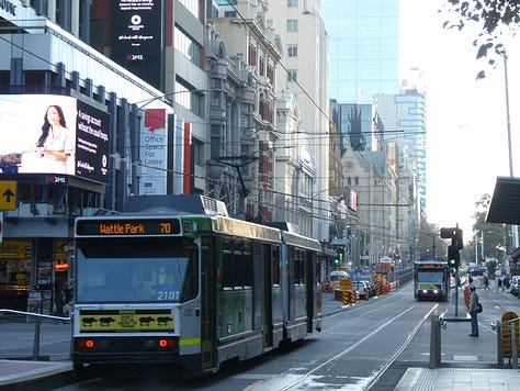


Thanks for this insight into a vibrant and thriving city. I'm planning to visit soon with your posting as a guide.